04. Voxel Map Exercise
Voxel Map

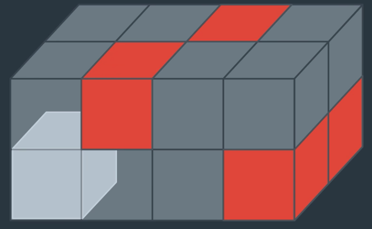
A voxel map is a 3D grid representation of the environment. For flying cars or drones in most cases you wouldn't want to represent your entire search space as a 3D grid, but it can be useful when you want to do higher resolution planning for a local region, which is what we're going to talk about later in this lesson.
In this exercise, you'll convert the map of the city that you've been working with into a 3D voxel map for visualization.
Workspace
This section contains either a workspace (it can be a Jupyter Notebook workspace or an online code editor work space, etc.) and it cannot be automatically downloaded to be generated here. Please access the classroom with your account and manually download the workspace to your local machine. Note that for some courses, Udacity upload the workspace files onto https://github.com/udacity, so you may be able to download them there.
Workspace Information:
- Default file path:
- Workspace type: jupyter
- Opened files (when workspace is loaded): n/a